Using Satellite Maps to Catch More Fish: Unlocking the Secrets of the Deep
Offshore fishing is a thrilling pursuit, but it can also be a frustrating one. The vast expanse of the open ocean can feel like an empty desert, and even the most experienced anglers can come home empty-handed. But what if there was a way to tilt the odds in your favor?
The Power of Satellite Maps
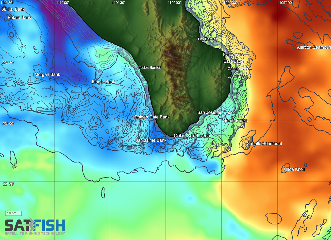
Satellite maps have revolutionized the way we fish offshore. By providing real-time data on sea surface temperature (SST), chlorophyll levels, and other key factors, these maps allow anglers to track the movements of gamefish and identify the most productive bite zones.
Find the Temperature and Water Color Breaks
Temperature breaks are areas with a distinct change in water temperature. These breaks often serve as boundaries between different water masses, creating areas of upwelling and convergence where food and gamefish congregate.
Chlorophyll Maps: The Green Gold
High chlorophyll levels indicate areas with abundant phytoplankton, the foundation of the marine food chain. Baitfish thrive in these nutrient-rich waters, and the murky green water provides them with cover from predators. Tuna, marlin, and other gamefish cruise the edges of the green water, picking off baitfish that stray into the open.
Sea Surface Temperature Maps: The Hot Zones
When regional water temperatures are near the low end of the preferred range for a species, the warmest water in the area will hold the most fish. By using SST maps, anglers can quickly identify these hot zones and focus their efforts on the most productive areas.
Convergence Zones: The Dynamic Hotspots
Convergence zones are dynamic regions where water masses of different temperatures, salinity, and density collide. These zones often create areas of upwelling, bringing nutrients and food to the surface. Weedlines, kelp paddies, and baitfish are drawn to these areas, and the gamefish follow.
SatFish: The All-in-One Map Resource
SatFish is the ultimate tool for offshore anglers. This all-in-one map resource combines the latest high-definition satellite SST, chlorophyll maps, and other essential data to help you find the bite zone fast.
Tag Cabo Sportfishing: Real-World Success
Here at Tag Cabo Sportfishing in Cabo San Lucas, we’ve seen firsthand the power of SatFish. We use it every day to target a variety of species, from marlin and tuna to dorado and wahoo. SatFish has dramatically increased our success rate, and our clients love it!
Get a $20 USD off your new Subscription with promo code TAGCABO.